

Bradley to Brighouse Greenway
This engagement is now closed - thank you for your responses.
We have now publish an engagement report containing a summary of the feedback received on the proposals and a series of recommendations to the project team made with considerations to people’s feedback.
You can read the report here or download it from the documents section.
Please continue to visit this page in the following months for updates on how the feedback influenced the project decisions.
Background
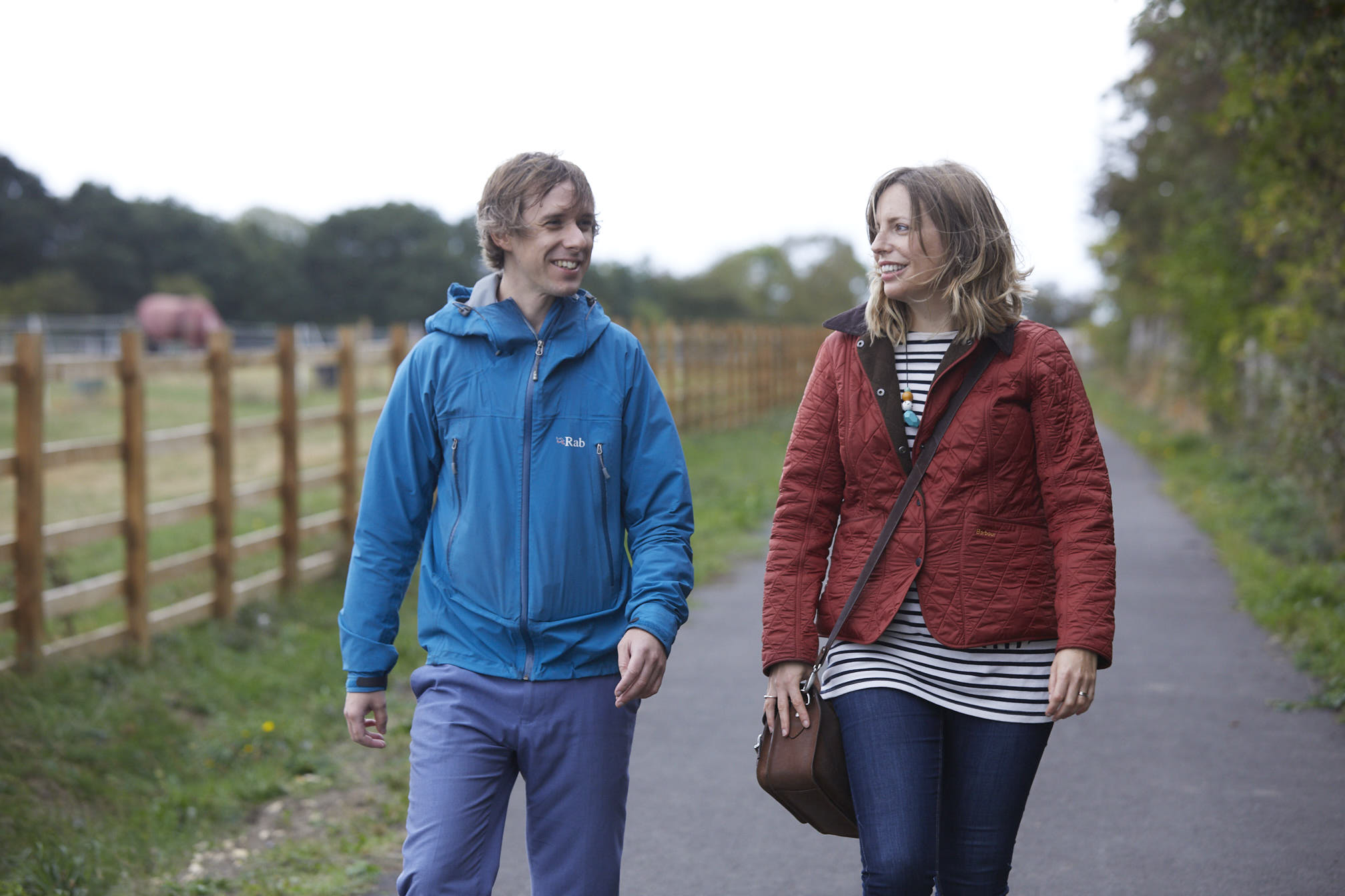
The West Yorkshire Combined Authority’s CityConnect programme is improving cycling and walking infrastructure and routes across the region .
Working in partnership with councils across West Yorkshire and York, we are aiming to improve and encourage more people to make more every-day journeys by bike or on foot.
To deliver a wide range of transport improvements the West Yorkshire Combined Authority is seeking £14.8 million funding through the West Yorkshire-plus Transport Fund, and the Leeds City Region Growth Deal.
The Growth Deal is a £1 billion package of Government investment through the Leeds City Region Enterprise Partnership (LEP), delivered by the West Yorkshire Combined Authority to accelerate growth and create jobs across Leeds City Region.
Bradley to Brighouse Greenway
The Bradley to Brighouse Greenway is being delivered in partnership with Kirklees Council and Calderdale Council and will be a 6.5km section of new greenway, providing a missing link in cycling and walking infrastructure. A greenway is a traffic-free cycling and walking route away from the road.
The scheme will include improvements to existing footpaths, bridleways and quiet roads through Bradley and Brighouse, with a new section of route being built alongside the Calder Hebble Navigation canal towpath. New signage and junction and road crossing improvements also feature among the proposals.
Proposed improvements include:
- Upgrade and improve 1.7km of existing bridleway through Bradley to allow cycling, improving crossing points and upgrading the zebra crossing.
- Introduce a new 0.7km surfaced path between Lower Quarry Road and Kirklees Lower Lock, on the Calder and Hebble Canal.
- Upgrade 1.4km of towpath between Kirklees Lower Lock and Anchor Pit Bridge, on the Calder and Hebble Canal.
- Introduce 1.7km of new cycle route, and improve the footways and crossing points between River Street and Brighouse Basin.
- Improve 1km of towpath between Brighouse Basin and Ganny, on the Calder and Hebble Canal, including new controlled crossings on the A641 Huddersfield Road (Sainsbury’s), and the A643 Owler Ings Road (Brighouse Market).
Once complete, the route will connect to the Birkby Bradley Greenway, the Calder Valley Greenway and the Huddersfield Broad Canal, with off-road routes to the Lower Spen Country Park and to Mirfield.
This scheme will help the local communities, which are currently separated from each other by motorway and major road network, to connect and will provide safe and attractive routes to schools, local facilities or simply an opportunity to relax and enjoy nature and green space.
Engagement dates:
Between 16 September 2020 and 28 October 2020, we asked the public for feedback on our plans to improve the Bradley to Brighouse Greenway. Their views helped inform the current plans and provided an opportunity to identify any issues that we were not aware of.
If you need the information in other formats please get in touch.
Contact us:
Via email: cityconnect@westyorks-ca.gov.uk
Via phone: 0113 251 7366
Via post: Freepost CONSULTATION TEAM (WYCA)*
*Please note that, due to the COVID-19 crisis, the majority of our staff are working from home and therefore there will be significant delays in receiving any postal contributions. If you can, please contact us using another method to ensure a quick response.
For more information about the project visit: cyclecityconnect.co.uk
Follow us on:
 | @CityConnect1 |
 | CycleCityConnect |
| @CycleConnect1 |


Who's Listening

Signup Banner
