
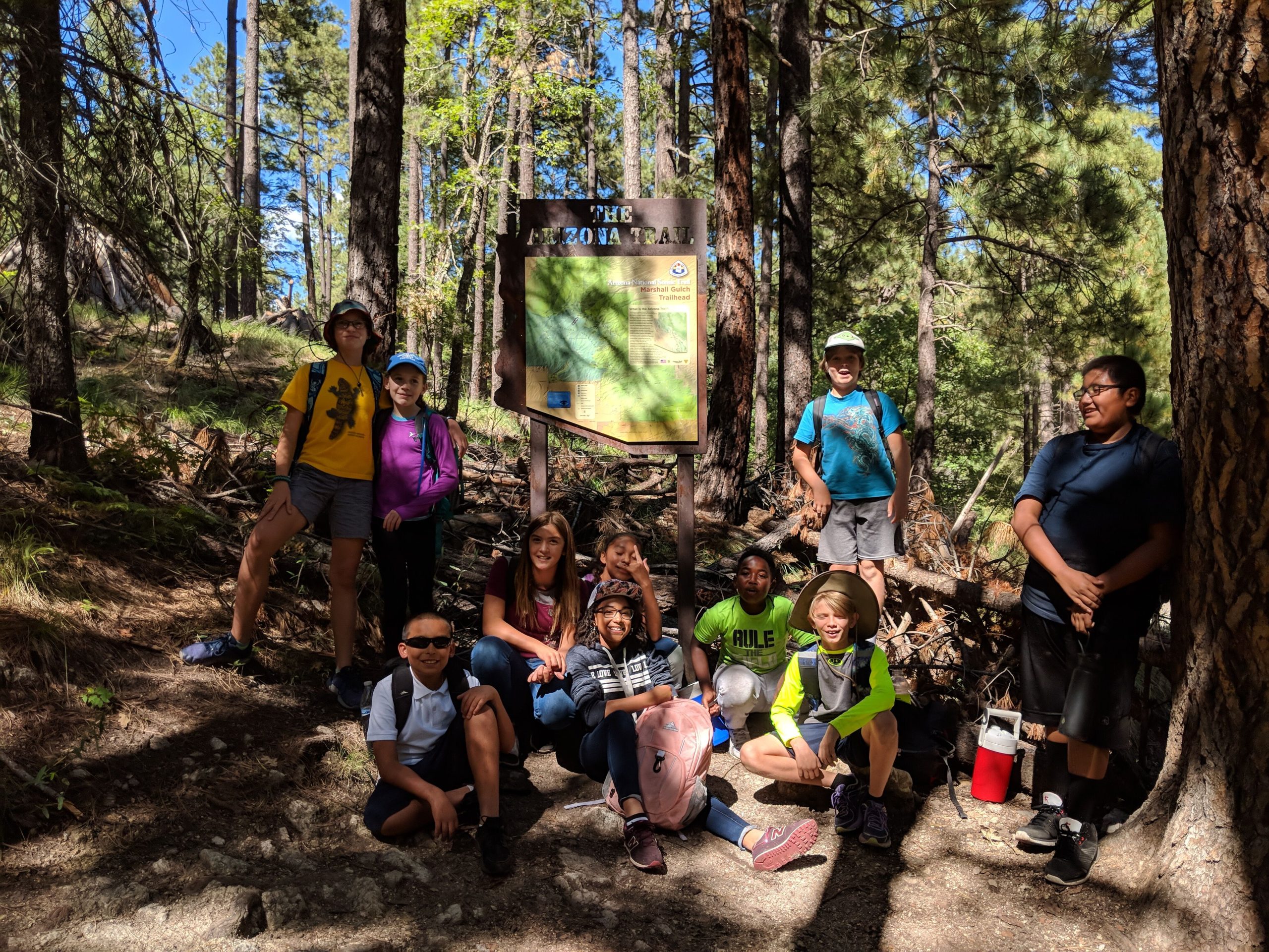

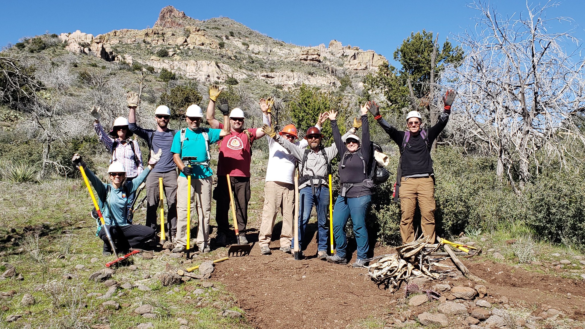

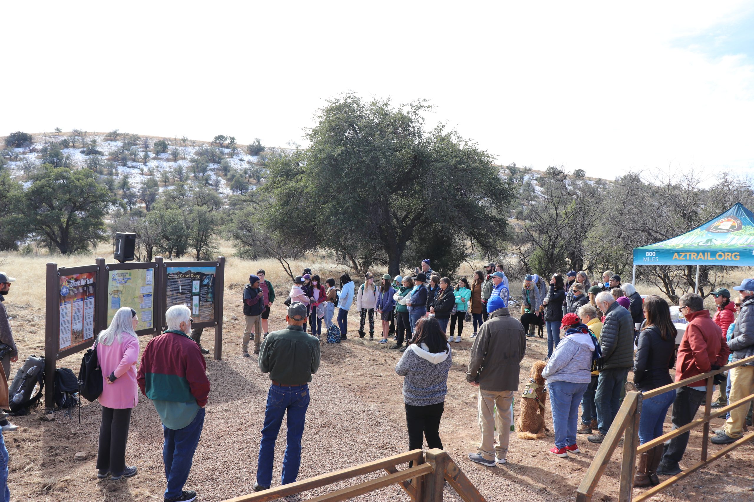
On Friday, December 16 the Arizona Trail Association celebrated the grand opening of the Oak Tree Canyon Trailhead on the Coronado National Forest near the town of Sonoita. After having been closed for nearly 20 years due to natural and cultural resource impacts from off-highway vehicles, we were delighted to have been granted permission to construct a trailhead at this scenic location. In addition to earthwork and steel fence construction, the trailhead also includes two steel gates and an interpretive kiosk that celebrates the Santa Rita Mountains as a cultural landscape that was developed in collaboration with the Tohono O'odham Nation. Oak Tree Canyon is located just west of Hwy 83 between mile posts 44 and 43, north of Gardner Canyon and the town of Sonoita. The trailhead provides ideal access to the oak woodlands of the Santa Rita Mountains -- just follow FR 4072 for one mile to the AZT. The trailhead is large enough to accommodate up to 40 passenger cars plus 8 trucks and horse trailers. The Grand Opening Celebration was attended by nearly 75 people, including Arizona Trail staff and trail stewards; Coronado National Forest employees; representatives from the Tohono O'odham Nation; youth and teachers from...
Read More

Location
- Oak Tree Canyon to Lakes Road
Length
- 13.1 miles
Southern Access Point: Oak Tree Canyon
- GPS Coordinates: 31.81072° N, 110.72330° W
- NOTE: The trail is not directly accessible by vehicles. The trail is approximately 1 mile west of Oak Tree canyon Trailhead along Forest Road 4037 through the AZT Trail Gate next to the locked vehicle gate marked “road closed”.
Access
From the intersection of I-10 and AZ 83, drive south on AZ 83 for 15 miles to milepost 43.2. Oak Tree Canyon Trailhead is located just west of the highway and is large enough to accommodate 40 passenger cars and up to 8 trucks and horse trailers.
Northern Access Point: Lakes Road
- GPS Coordinates: 31.90910° N, 110.67151° W
- NOTE: This trailhead is not directly accessible by vehicles. The trailhead is approximately 0.6 miles west of the access point (31.90857° N, 110.66196° W) along a two-track road.
Access
From the intersection of I-10 and AZ 83, drive south for 7.2 miles on AZ 83 to milepost 51.4. Turn right (west) and go through a gate on an unmarked, rough dirt road about 0.6 miles to the AZT. This road requires a 4WD high-clearance vehicle, or park near AZ 83 and walk in (recommended).
Trail Route Description

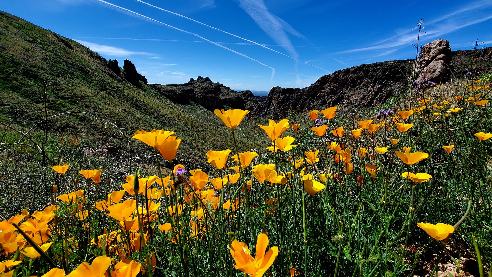
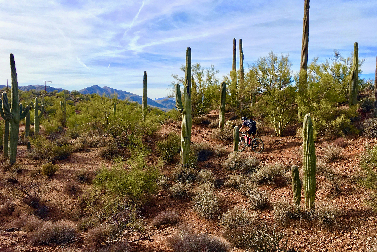
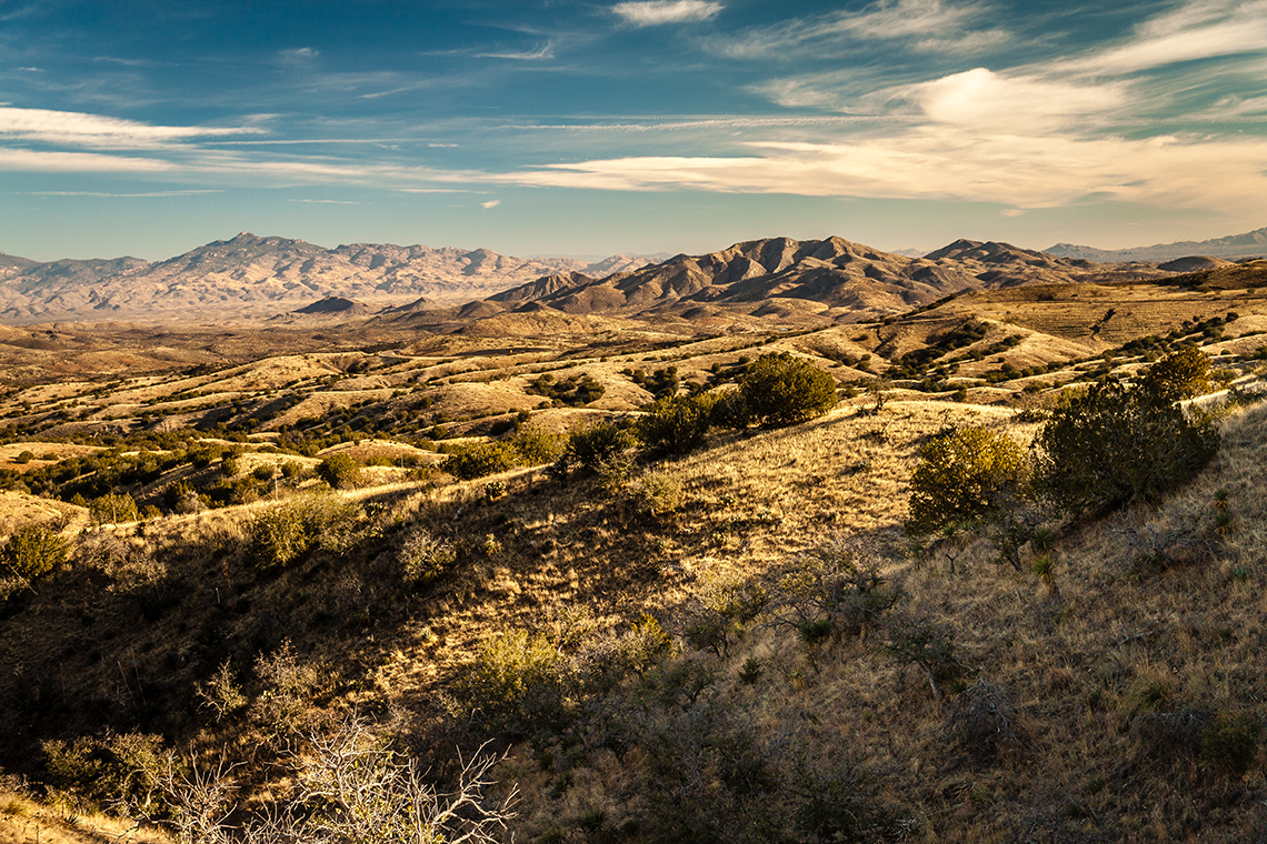
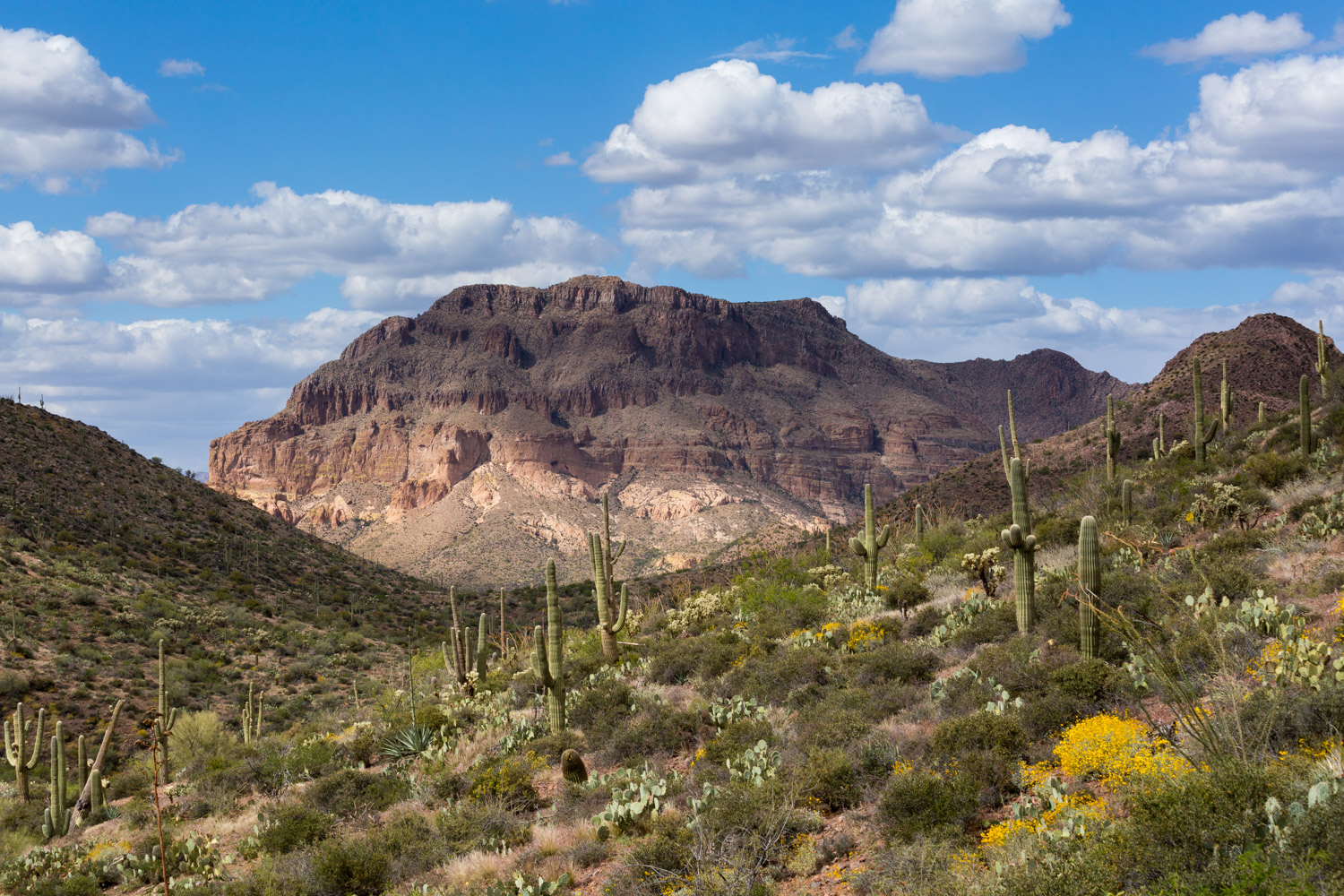
Passage 6 rolls across the foothills of the Santa Rita Mountains. The trail passes through oak-lined, semi-desert grassland and features ocotillo, barrel and prickly pear cactus. The terrain is up and down over rolling hills and across several ridges and sandy washes. There are a few short, steep climbs followed by similar descents, with an overall downhill trend.
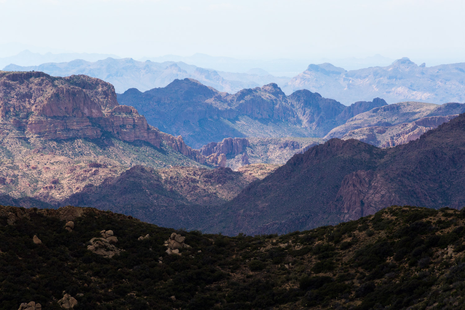
This section features grand vistas to the west and views of the Empire Mountains to the east. Looking south, Mountain Wrightson dominates as a majestic reminder of where you have been. Look north, however, and you will see the mighty Rincon Mountains, which foretell adventures to come!
Difficulty
- Moderate
Season(s)
- Fall, Winter and Spring
- Current weather forecast
Water
There may be water off of FR 4064, otherwise water is intermittent and scarce. Plan to bring your own water. Check the online Arizona Trail Water Report for current information at https://aztrail.org/explore/water-sources/.
Notes/Warnings
All water along this passage should be purified prior to use.
Resources
- Map of Passage 6
- USGS Topographic Maps: Empire Ranch and Mount Fagan.
- BLM Information Center maps.
For more information
- The Passage Steward
- Coronado National Forest, Nogales Ranger District, 303 Old Tucson Rd., Nogales, AZ 85621 (520) 281-2296
- BLM Information Center (602) 417-9300.
