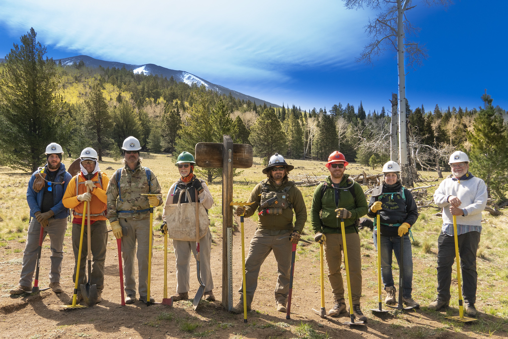
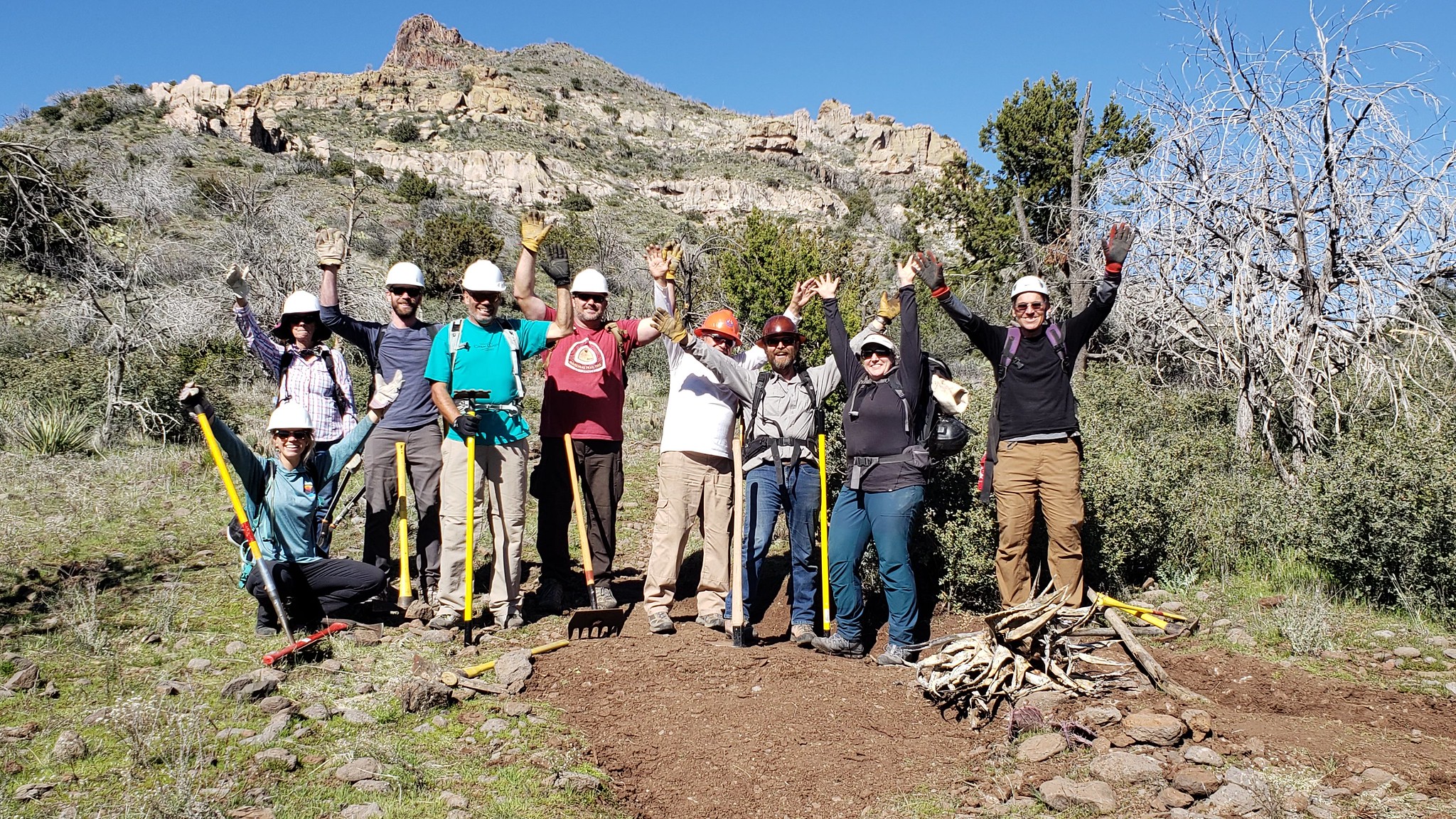

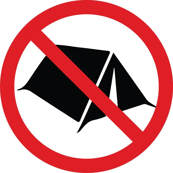
The Coconino National Forest has expanded the boundaries of the existing year-round camping and campfire ban located adjacent to the City of Flagstaff in an attempt to lower the hazard from human-caused wildfires. A full map of the expanded camping and campfire ban, which went into effect May 1, 2023, is available on the Coconino National Forest’s website. This information is also on all Arizona Trail navigational resources, including the FarOut app, topo maps, passage maps, website, and other important resources so AZT users know where they can camp outside the restricted areas. For thru-hikers utilizing the Flagstaff Urban Route (Passage 33), the longest distance to cover is 13.5 miles – from Flagstaff to Snowbowl Road. Section hikers have much greater distances to cover to avoid the camping ban area, especially along Passages 32 and 34. In addition to addressing the immediate concern for future large human-caused wildfires, the expansion is part of a long-term risk reduction strategy focused on forest health and resiliency. The change was made in response to public feedback, with support from the Arizona Trail Association. If you're planning multi-day trips on the AZT near Flagstaff, please be aware of where you can and cannot camp.
Read More
Location
- Schultz Pass to Cedar Ranch
Length
- 35.3 miles
Southern Access Point: Schultz Pass
- GPS Coordinates: 35.28684° N, 111.62627° W
Access
To reach the starting point, drive on Interstate 17 (or I-40) to downtown Flagstaff, and drive north on Highway 180 (North Fort Valley Road). After you pass the Sechrist School on the right (east), continue 1.5 miles and then turn right (northeast) on Schultz Pass Road (FR 420). Follow this paved road 0.7 mile, turning left (north) at the fork in the road. Continue north for 3.9 miles to a small parking area on the right (south) side of Schultz Pass Road. The AZT can be found on the north side of Schultz Pass Road across from the parking area.
Northern Access Point: Cedar Ranch
- GPS Coordinates: 35.54733° N, 111.78292° W
Access
From Flagstaff drive north on US 180 about 33.0 miles and turn right (east) onto FR 417 near mile marker 248 (if you reach the Kaibab National Forest sign, you’ve gone too far by 0.4 miles). Continue 5.2 miles to a point just a short distance north of Cedar Ranch Headquarters, where a side road (FR 9008A) leaves FR 417 to the left. The next passage begins here and follows FR 417 to the west (back along the road you just drove down).
Trail Route Description

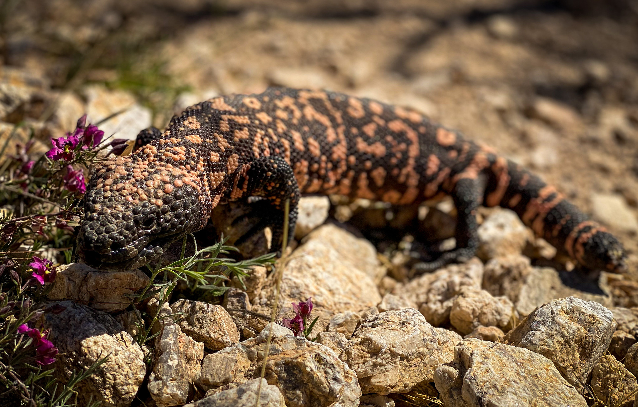
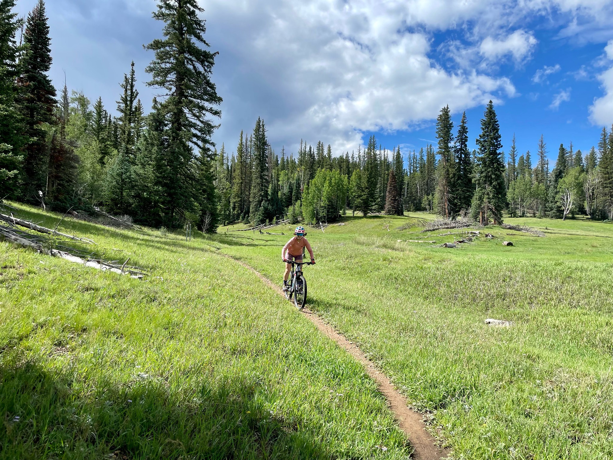
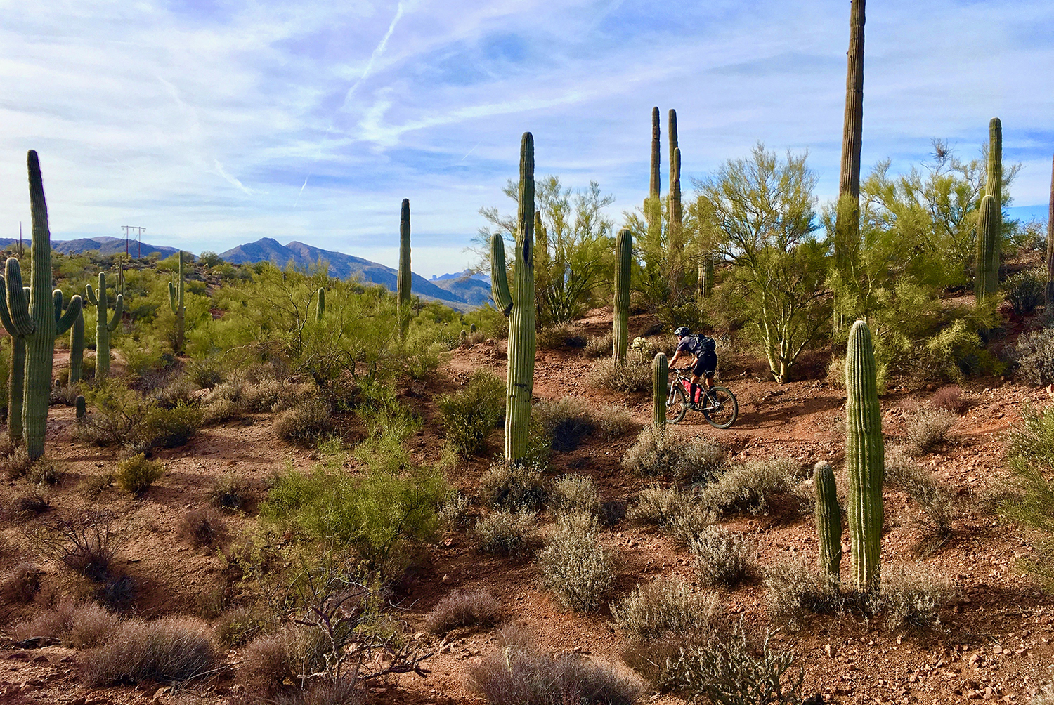
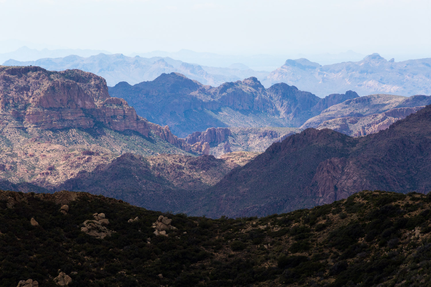
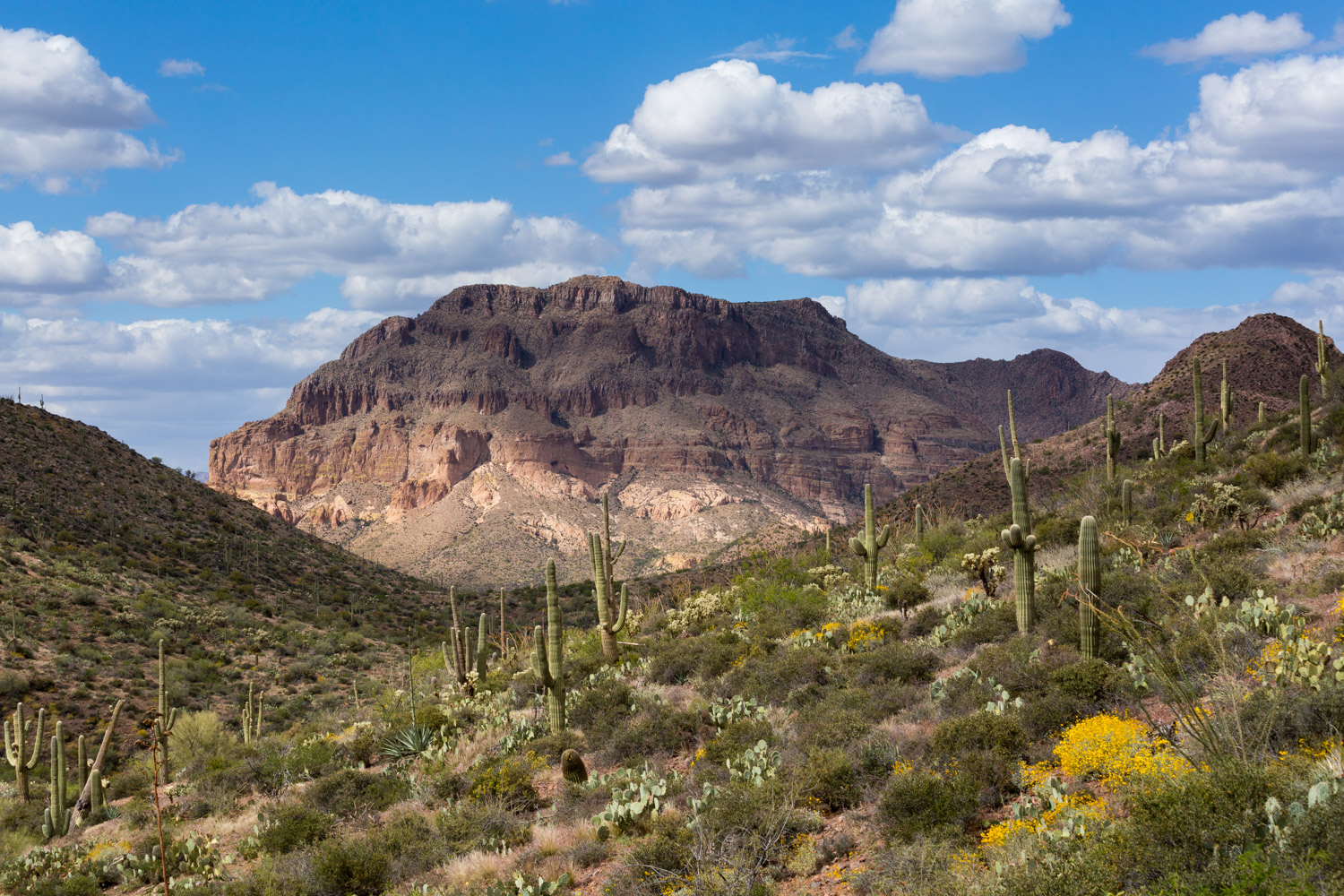
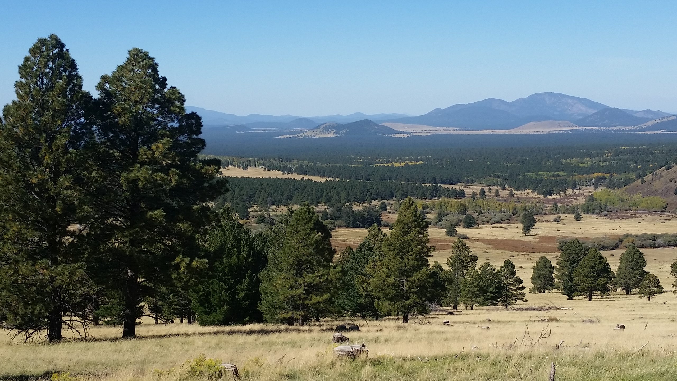
Passage 34 skirts the west side of the San Francisco Peaks north of Flagstaff. This passage is long, scenic, and rich with biodiversity. The trail follows a well maintained singletrack through beautiful pine, spruce, and aspen forests at high elevation— briefly reaching 9,000 feet—and then transitions down to typical Arizona high-desert terrain.
This section features fields of ferns with towering aspens and passes through picturesque alpine meadows with fantastic mountain views, most notably Humphrey’s Peak, the high point of the range and Arizona’s tallest summit at 12,633 feet.
Difficulty
- Moderate
Season(s)
- Spring, Summer and Fall
- Current weather forecast
Water
Water can usually be found Alfa Fia Tank and East Cedar Tank. Check the online Arizona Trail Water Report for current information at https://aztrail.org/explore/water-sources/.
Notes/Warnings
- All water along this passage should be purified prior to use.
Resources
- Map of Passage 34-South; Map of Passage 34-North
- USGS Topographic Maps: Humphreys Peak, White Horse Hills and S P Mountain.
- Coconino National Forest map.
- BLM Information Center maps.
For more information
- The Passage Steward
- Coconino National Forest, Flagstaff Ranger District, 5075 N. Hwy 89, Flagstaff, AZ 86004 (928) 526-0866.
- BLM Information Center (602) 417-9300.
Current Passage Info
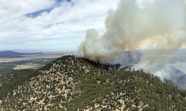
Slate Fire Forces Closure of Arizona Trail north of Flagstaff
June 8, 2021
The Slate Fire has forced a closure of the Arizona Trail north of Flagstaff near Babbitt Ranch. In the interest of public safety, the northern half of AZT Passage 34 (San Francisco Peaks) is currently closed between Kelly Tank (mile 603.3) and Cedar Ranch (mile 616.2). Trail users are discouraged from visiting Passage 35 (Babbitt Ranch) as the fire advances further north. The Slate Fire was first reported on June 7 and has grown to over 11,148 acres (as of June 15). To learn more about the Slate Fire, visit the Inciweb page here.
Read More
Hart Prairie Restoration Underway
June 5, 2020
Please use caution while enjoying the Arizona Trail near Hart Prairie between Aspen Corner and Forest Road 418 during the summer of 2020. The U.S. Forest Service will be cutting and masticating ponderosa pine trees throughout the area to restore the meadow environment. This project allows regrowth of Bebb willow and other alpine meadow species that have been pushed out by the recent growth of pine trees. No trail closures are anticipated, but thinning and processing activities will temporarily impact the scenic resources and natural quiet near the Arizona Trail.
Read More
