

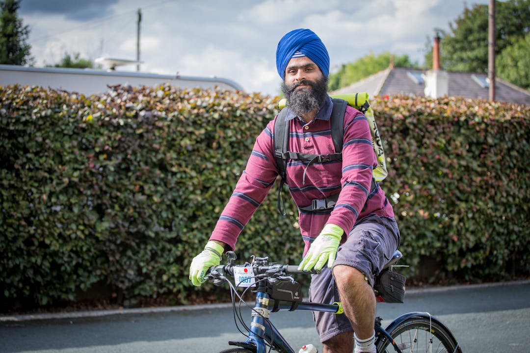
Safe streets for walking and cycling
The West Yorkshire Combined Authority and our partners want to understand which areas in our region could be improved to help the public travel more easily by bike or on foot, and to provide more space to travel safely while social distancing.
Our interactive map will allow you to highlight issues that you are experiencing when travelling by bike or on foot and to suggest where improvements could be made to make these journeys safer, including increasing space for social distancing. The map can be found here.
Contributions to this page were collected from June 2020 until 10 May 2021. The map has now closed whilst we review the options suggested.
What we want to know
The map enabled you to drop pins to highlight:
- particular streets or locations in your neighbourhood where you are experiencing issues that could be overcome with trial or temporary measures to increase space for people to walk or cycle, as well improvements to address accessibility issues
- where you are facing difficulties on your journeys to work, school or to local shops, and if measures, such as segregated cycle routes, widened pavements around shops or bus stops, could be introduced to make these journeys easier, safer and enable more social distancing
- the important places you are travelling to, as well as the supporting facilities that might make this journey easier to take by bike, such as places to securely park your bike
What locations can I comment on?
This map allowed you to highlight issues in Calderdale, Kirklees and Wakefield. Please note this map is now closed for contributions.
Bradford Council have launched their own engagement portal. The link to this is available below:
- Click here to visit Bradford Council's COVID-19 Social Distancing and Active Travel map [external link - opens in a new window]
Leeds Council have undertaken their own engagement exercise on potential issues and measures. The link to this is available below:
- Click here to visit Leeds Council's Connecting Leeds COVID-19 Transport Response map [external link - opens in a new window]
How will the information be used
The information that we gather from the interactive map will be shared with our partner councils in West Yorkshire to inform our plans to deliver temporary or trial measures to increase space for people to travel more safely, and in a socially distant way.*
As well as helping us to identify where interventions should be targeted in the near future, your feedback will also help inform future schemes such as the Local Cycling and Walking Infrastructure Plans. Please click here for more details [external link - opens in a new window].
Some work is already underway in parts of West Yorkshire to provide more space for people to travel in a more socially distant way, and further measures will be confirmed and delivered in the coming weeks.
Since funding and resources are limited, it’s important for us and our partner councils to know where people are experiencing particular issues so that we can prioritise action on those issues and locations where improvements are most needed. By submitting your feedback via our interactive map, you will be helping us to make the best decisions we can, although please be aware that unfortunately we won’t be able to respond to individual comments.
Please note - contributions to the map have now closed. To use this map you will either need to provide an email and screen name or to register as a member of the Your Voice community. Please note that your screen name will be publicly visible on the map. If you have previously registered to Your Voice and wish to change your screen name you can do so by clicking here.
*All information you provide will only be used in the manner described in our privacy policy which can be downloaded by clicking here.
Contact us
Via email: yourvoice@westyorks-ca.gov.uk
Via phone: 0113 245 7676
Via post: Freepost CONSULTATION TEAM (WYCA)*
*Please note that, due to the COVID-19 crisis, the majority of our staff are working from home and therefore there will be significant delays in receiving any postal contributions. It is strongly recommended that you contact us via another method if possible.
Maintenance Issues
Comments that relate to a highways issue that needs immediate rectification should be reported to each individual local authority using the links below [the below links are external and will open in a new window]:
Safe streets for walking and cycling - interactive map
This interactive map is designed to help us understand which areas could be improved to help the public travel more easily by bike on foot, and to provide more space to travel safely and socially distant.
To use the map, please follow these simple instructions:
- Locate the relevant location on the map. This can be done either by zooming in and dragging the screen, or by searching for a postcode or location using the magnifying glass tool in the top right hand corner of the map.
- Click the + icon on the left hand side of the screen to reveal a list of pins.
- Choose which pin is most relevant to your issue.
- Drag and drop this pin onto the relevant location within the map. If you are using a mobile device you will then need to click 'Set this location' in the top right hand corner.
- A box will pop up which allow you to provide further details, select which measures you think could help overcome the issues and/or upload a photograph to support your comments.
All information you provide via this map will be visible to other users and therefore we encourage you not to reveal any personal information about yourself or others.
To use this map you will either need to provide an email and screen name or to register as a member of the Your Voice community. Please note that your screen name will be publicly visible on the map. If you have previously registered to Your Voice and wish to change your screen name you can do so by clicking here.
This map allows you to highlight issues in Calderdale, Kirklees and Wakefield. For issues in Bradford and Leeds, partner councils have launched their own engagement portals and links to these are available below:
- Click here to visit Leeds Council's Connecting Leeds COVID-19 Transport Response map
- Click here to visit Bradford Council's COVID-19 Social Distancing and Active Travel map
NB. Any information you provide via this map will only be used in the manner described in our privacy policy which can be downloaded by clicking here.
